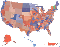
USD $10.99 (US Dollars)
EUR €9.23 (Euro)
GBP £8.02 (Pounds Sterling)
CAD $14.95 (Canadian Dollar)
Product ID: 1977
File size: 2696 KB
File Format:
Adobe Illustrator & PDF
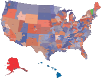
USD $10.99 (US Dollars)
EUR €9.23 (Euro)
GBP £8.02 (Pounds Sterling)
CAD $14.95 (Canadian Dollar)
Product ID: 2051
File size: 2092 KB
File Format:
Adobe Illustrator & PDF
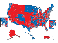
USD $10.99 (US Dollars)
EUR €9.23 (Euro)
GBP £8.02 (Pounds Sterling)
CAD $14.95 (Canadian Dollar)
Product ID: 3804
File size: 2807 KB
File Format:
Adobe Illustrator & PDF
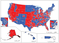
USD $10.99 (US Dollars)
EUR €9.23 (Euro)
GBP £8.02 (Pounds Sterling)
CAD $14.95 (Canadian Dollar)
Product ID: 4749
File size: 2766 KB
File Format:
Adobe Illustrator & PDF
USD $10.99 (US Dollars)
EUR €9.23 (Euro)
GBP £8.02 (Pounds Sterling)
CAD $14.95 (Canadian Dollar)
Product ID: 4804
File size: 7049 KB
File Format:
Adobe Illustrator & PDF
USD $45.00 (US Dollars)
EUR €37.80 (Euro)
GBP £32.85 (Pounds Sterling)
CAD $61.20 (Canadian Dollar)
Product ID: 4751
File size: 2791 KB
File Format:
Adobe Illustrator & PDF
USD $49.80 (US Dollars)
EUR €41.83 (Euro)
GBP £36.35 (Pounds Sterling)
CAD $67.73 (Canadian Dollar)
Product ID: 1388
File size: 2409 KB
File Format:
Adobe Illustrator & PDF
All of our editable Popular Base vector maps are instantly downloadable digital files in either editable PDF or Adobe Illustrator format. Because each of our Popular Base digital maps is available in the Adobe Illustrator or editable PDF format, both of which use a vector based approach to displaying images, you can easily zoom into any portion of our maps without any degradation in the quality of the text, lines and symbols of the map --- regardless of the magnification factor. Using a vector graphics editor such as CorelDraw, Freehand or Illustrator, you can then easily crop portions of your map, add custom symbols, and change colors and font attributes as you need. We have a wide-variety Popular Base vector maps with varying levels of detail from simple blank outlines to highly-detailed maps with roads and terrain layers.
Don't see exactly what you're looking for? Contact us to get a free, no obligation quote on a custom Popular Base map for your project.